Indiana Public Water Supply System Watersheds
Community and Non-Community Systems that Use Surface Water
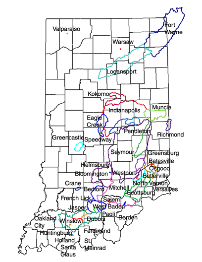
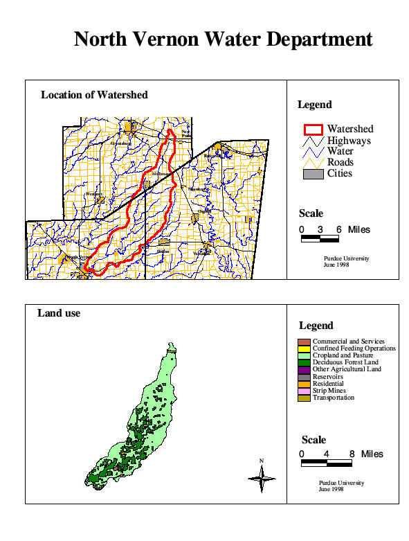
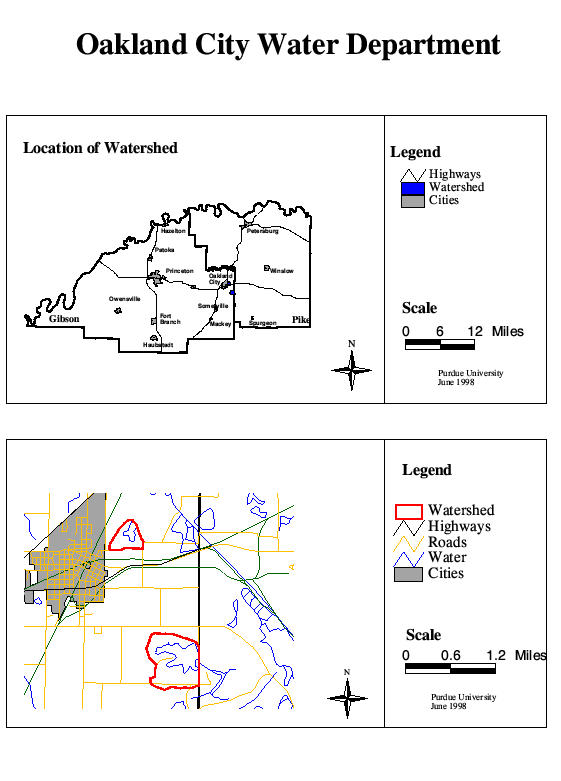
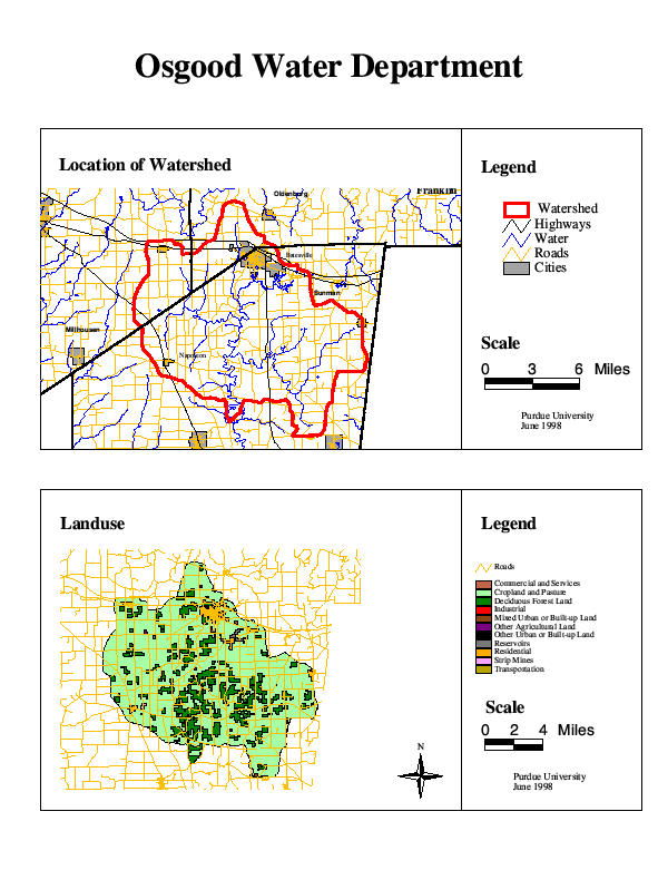
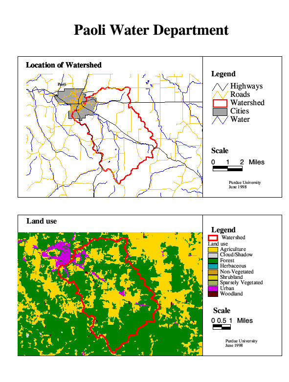
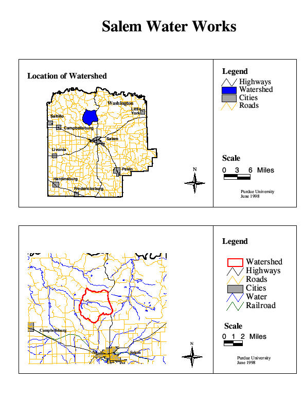
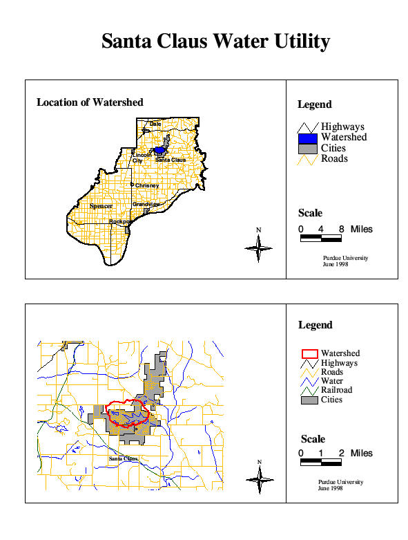
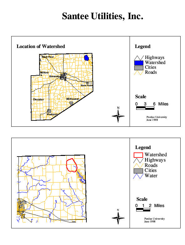
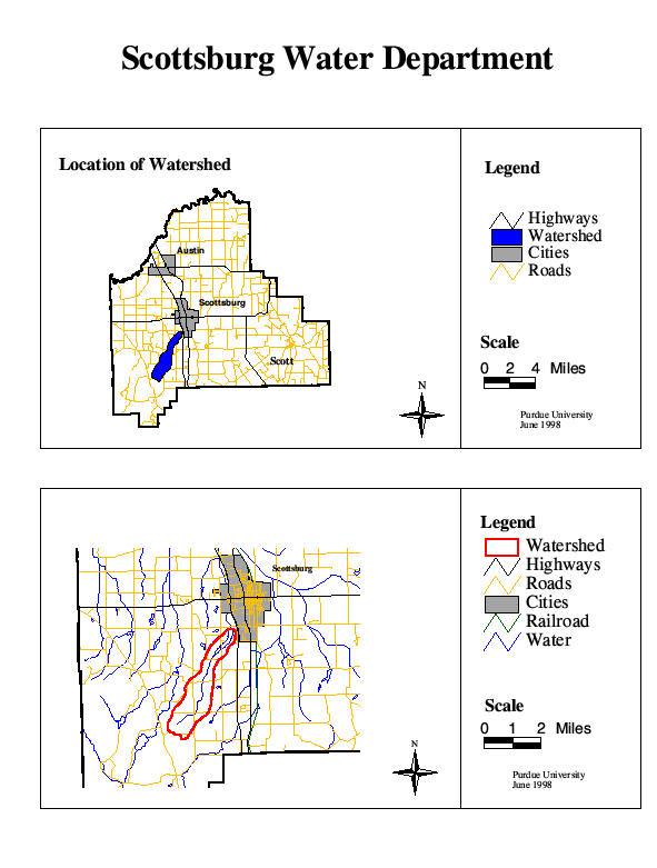
The maps below show the outlines of watersheds that drain into rivers or reservoirs used by community and non-community public water supply systems in Indiana. Maps of the individual watersheds can be obtained by clicking on the water supply name beneath the maps. These maps show digital (GIS) watershed boundaries developed by Purdue University and Indiana State University in the mid-1990's, and are not official. Land use is based on USGS LULC data. For official, or more current, information on Indiana's surface water systems, please contact the Indiana Department of Environmental Management, Drinking Water Branch. For more information about these maps,, contact Dr. Jane Frankenberger.
A table of watershed size and major land uses is also available.
Community Water Systems
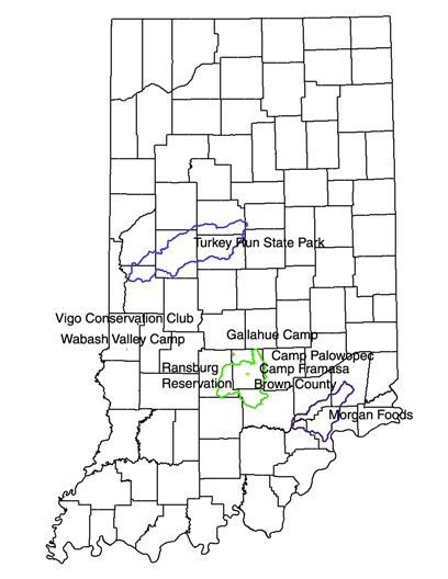
Non-Community Water Systems
1.
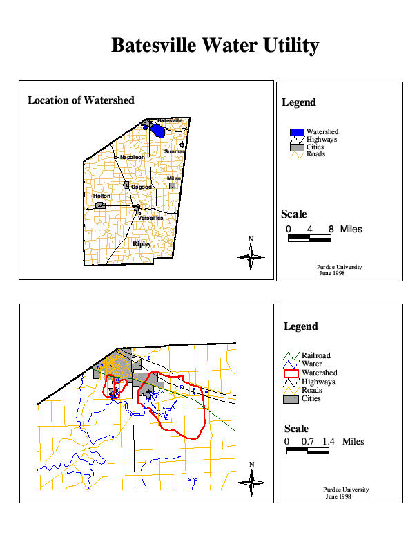
Batesville Water Utility
2. Bedford Water Works Location
and Land Use
3. Bloomington Water Department
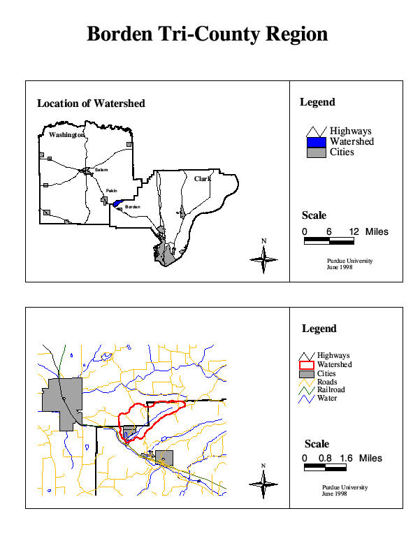
4. Borden Tri-County Region
5. Brown County Water Utility
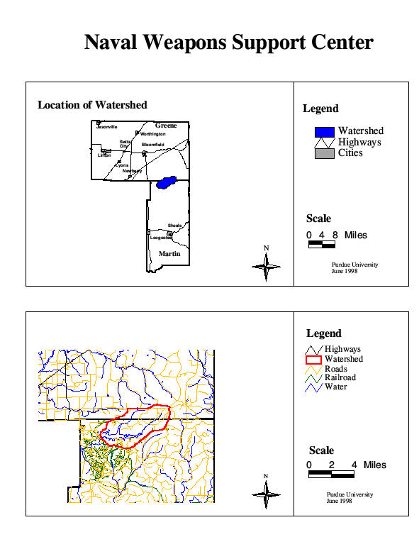
6. Crane Naval Weapons Support Center
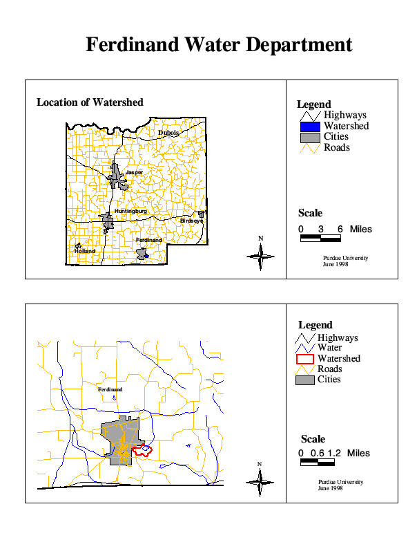
7. Ferdinand Water Department
8. Fort Wayne 3 Rivers Filtration Plant
9. French Lick Springs Hotel
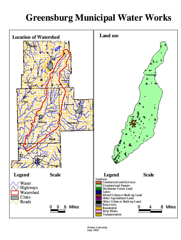
10. Greensburg Municipal Water Works
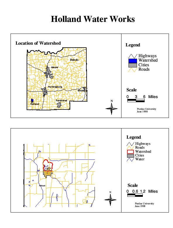
11. Holland Water Works
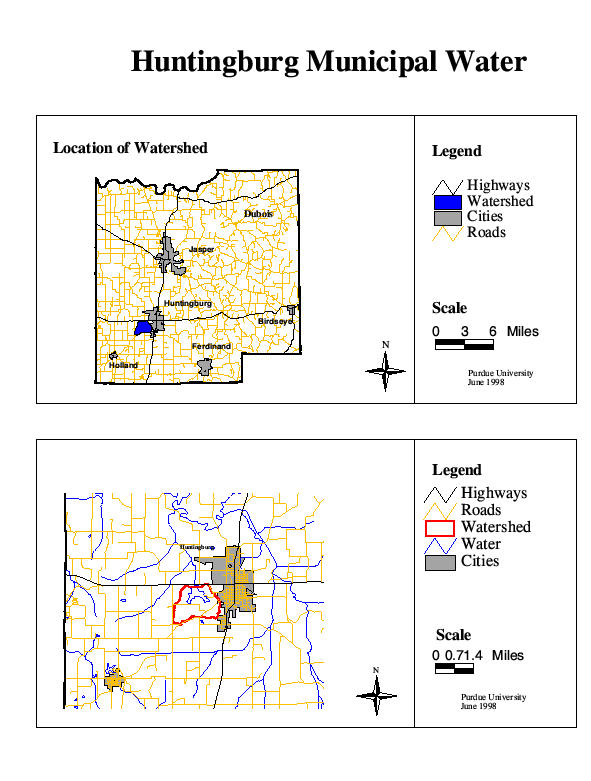
12. Huntingburg Municipal Water
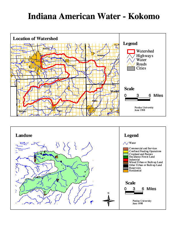
13. Indiana American Water-Kokomo
14. Indiana American Water-Muncie
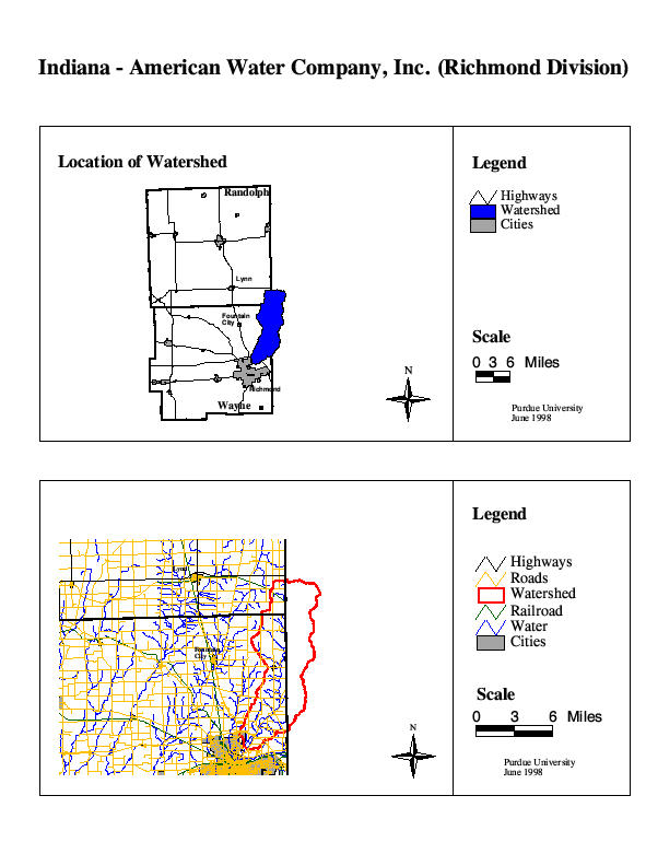
15. Indiana American Water-Richmond
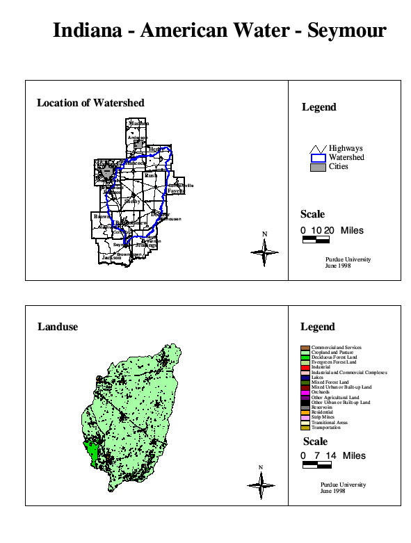
16. Indiana American Water-Seymour
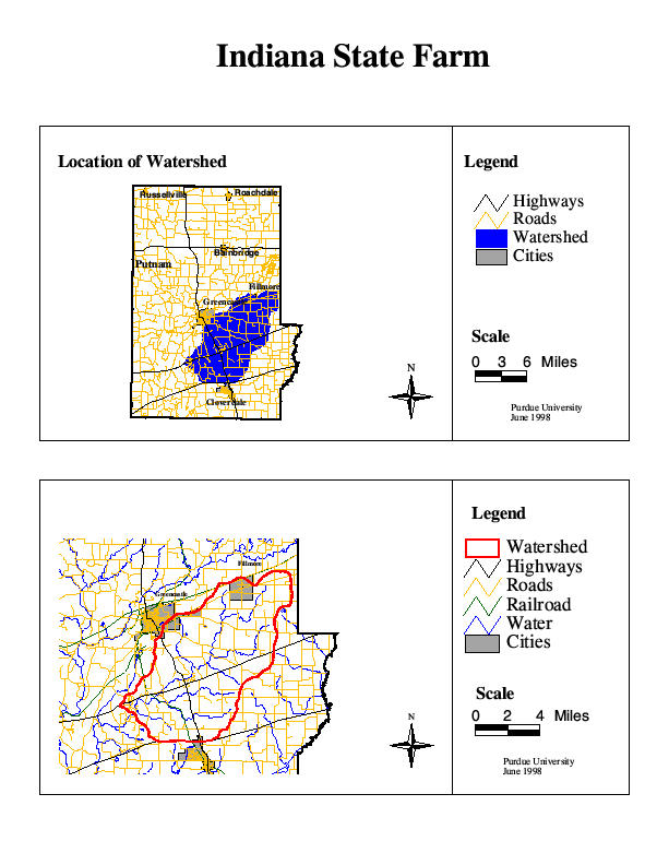
17. Indiana State Farm
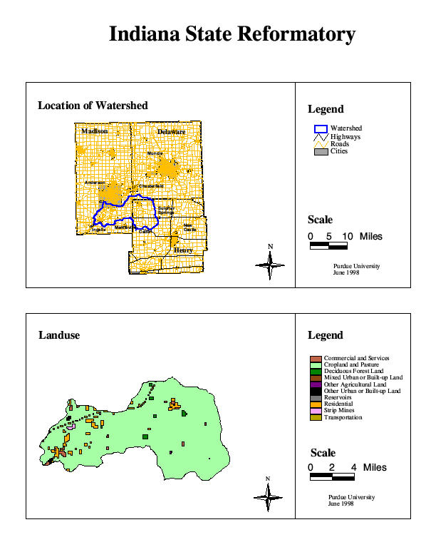
18. Indiana State Reformatory
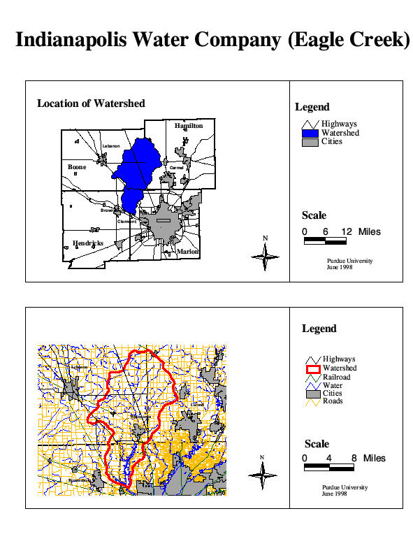
19. Indianapolis Water Company: Eagle
Creek
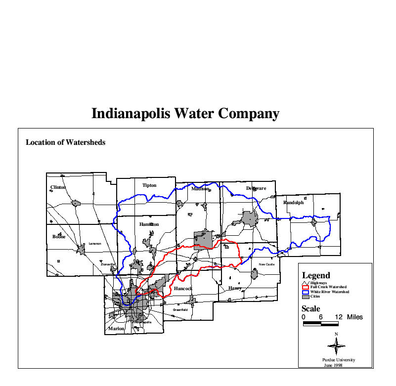
20. Indianapolis Water Company: Fall Creek and White River Location
21. Indianapolis Water Company: Fall Creek Land
Use
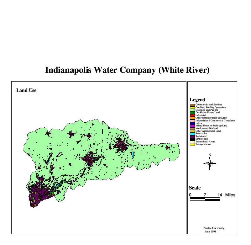
22. Indianapolis Water Company: White River Land
Use
23. Jasper Municipal Water Utility
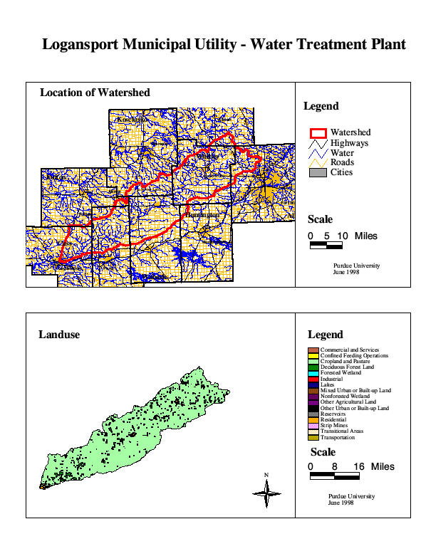
24. Logansport Municipal Utility- Water
Treatment Plant
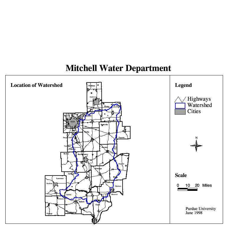
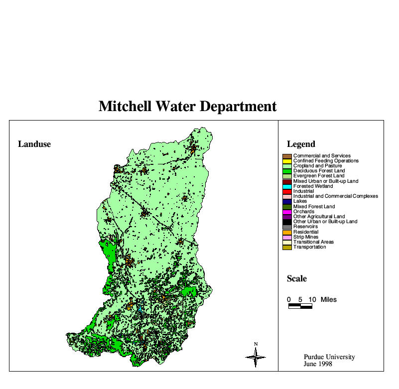
25. Mitchell Water Department Location
and Land Use
26. Muscatatuck State Developmental
Center
27. North Vernon Water Department
28. Oakland City Water Department
29. Osgood Water Department
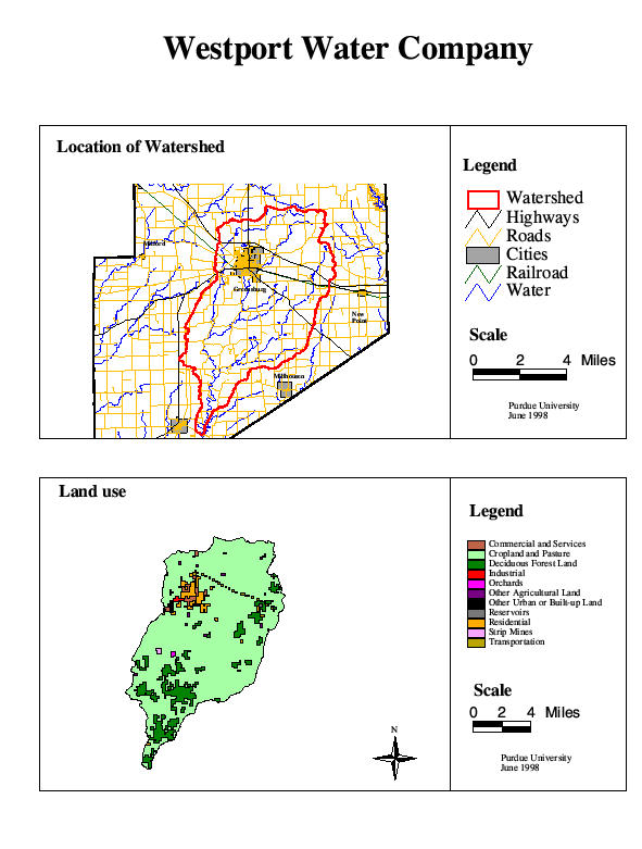
30. Paoli Water Department
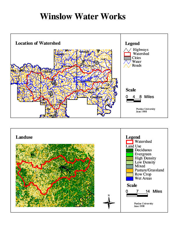
31. Patoka Lake Regional Water
32. Salem Water Works
33. Salt Creek Services, Inc.
34. Santa Claus Water Utility
35. Santee Utilities, Inc.
36. Scottsburg Water Department
37. Stucker Fork Water Utility
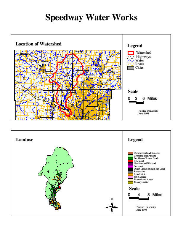
38. Speedway Water Works
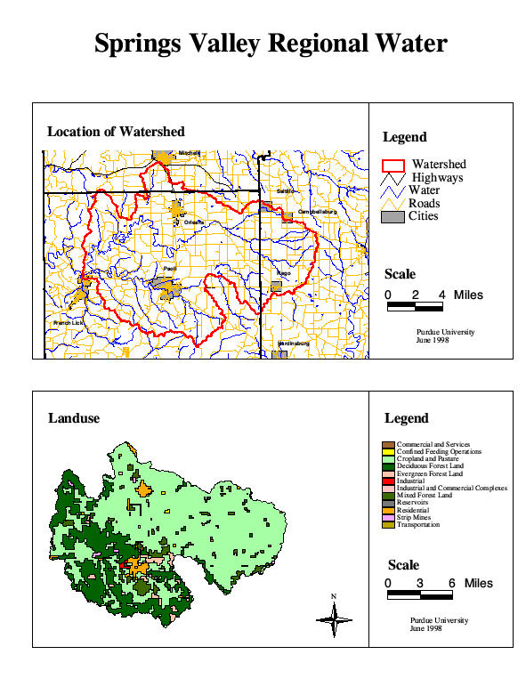
39. Springs Valley Regional Water
40. St. Meinrad Archabbey
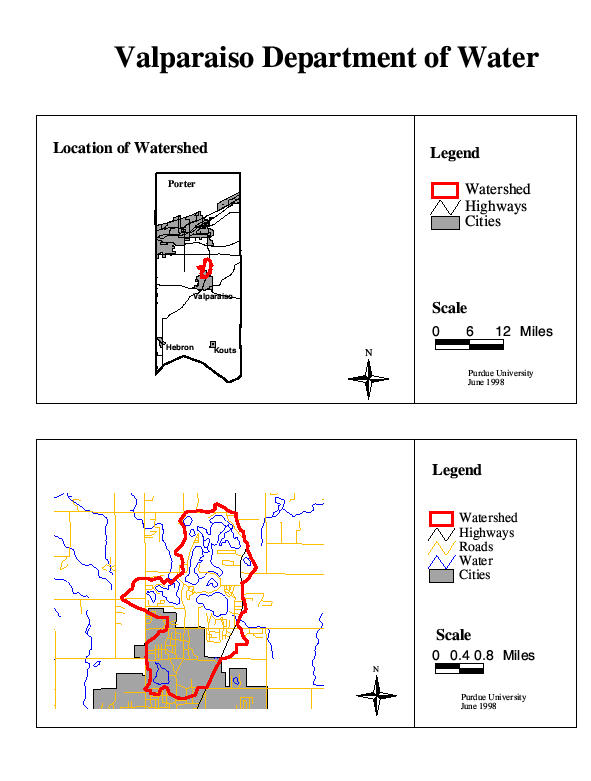
41. Valparaiso Department of Water
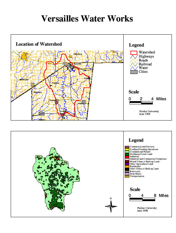
42. Versailles Water Works
43. Westport Water Company
44. Winslow Water Works
(Note: Warsaw no longer uses surface
water so should not be on map.)
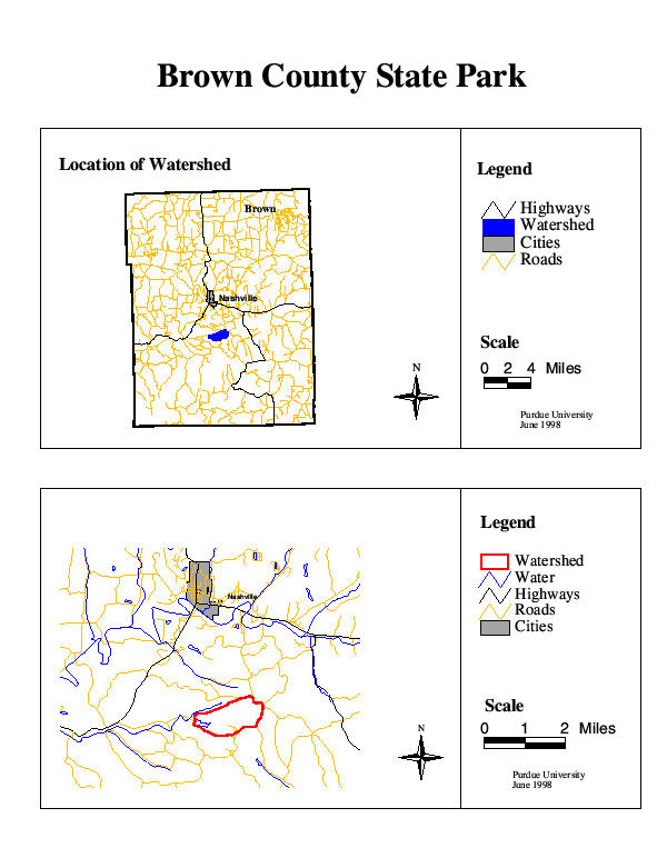
1. Brown
County State Park
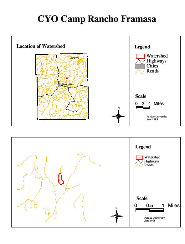
2. CYO Camp Rancho Framasa
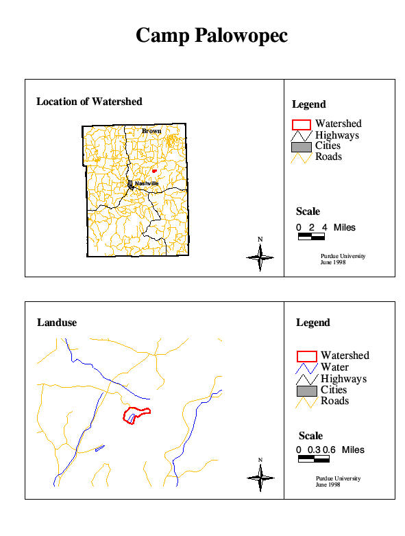
3. Camp Palowopec
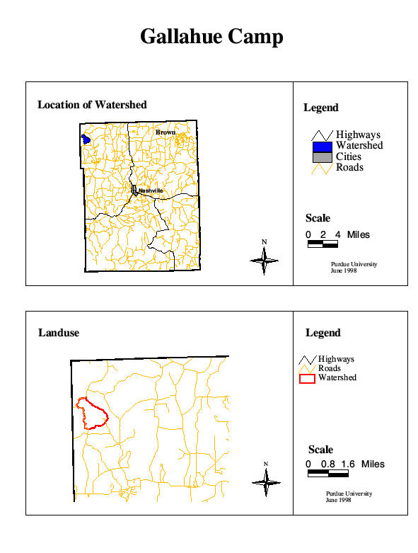
4. Gallahue Camp
5. Morgan Foods, Inc.
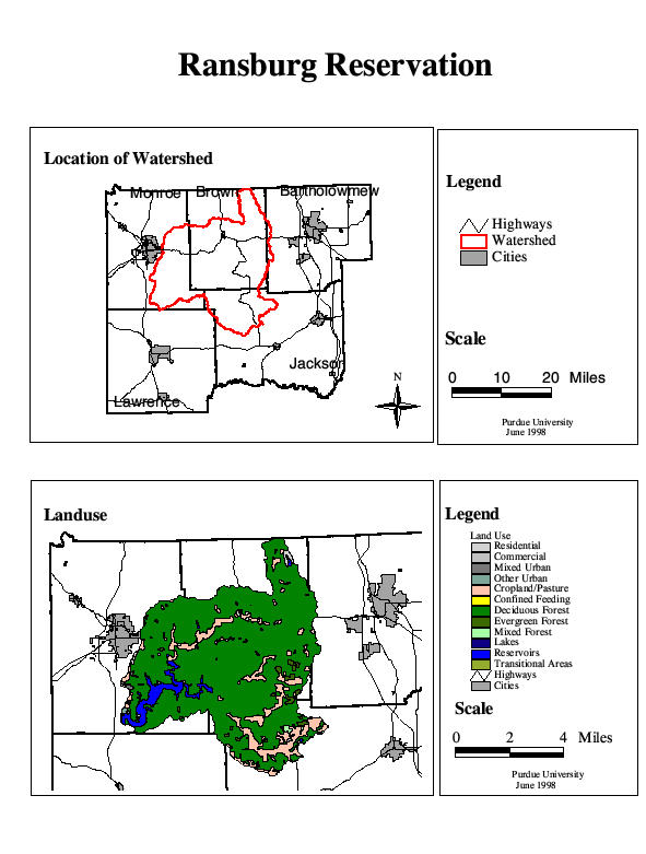
6. Ransburg Reservation
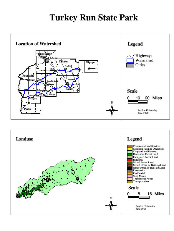
7. Turkey Run State Park
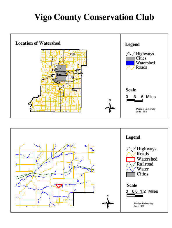
8. Vigo County Conservation Club
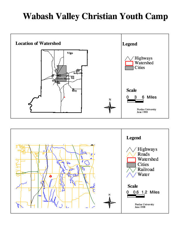
9. Wabash Valley Christian Youth
Camp
For more information
contact Jane Frankenberger
(frankenb@purdue.edu)
or Brent Ladd (laddb@purdue.edu)
or call the Purdue Extension Safe Water office at 765-496-6331

Purdue Equal Opportunity Statement
Home | Wellhead Protection | Farm/Home *A*Syst | Drinking Water FAQs | Publications | Safe Water for Kids | Links